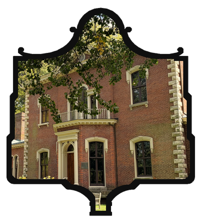
reMARKable Kentucky documents the Kentucky Historical Society’s roadside markers scattered across Fayette County, one at a time. Each piece opens with what the marker actually says, then digs into what it doesn’t, the context, the omissions, the parts of the story that got left off a plaque with room for only a few hundred words.
New marker histories publish every Sunday and Wednesday morning. Some weeks bring a deep dive into a single marker; others pair it with a companion piece on a related person, place, or event that didn’t get its own sign.
This is honest local history for people who drive past these markers all the time and have wondered what’s really behind them.
Since 1936, the Commonwealth of Kentucky has marked more than 2,400 sites across all 120 counties with official state historical markers, solid cast-aluminum signs, deliberately finished to look weathered with age, that give passersby a compact history lesson right where it happened. The program has passed through three distinct eras:
The earliest markers, installed starting in 1936 by a private nonprofit called the Historical Markers Society before the state took the program over in 1949, are recognizable by their two stars and shorter inscriptions, Marker No. 1, where I live in Lexington, was the very first one ever erected.
A second generation followed in the 1960s, after the Kentucky Historical Society took full control of the program in 1962, allowing for the longer front-and-reverse narratives you’ll see on most of the markers in this book.
Around 2000, the program settled into the dark “shading green” still used on new markers today.
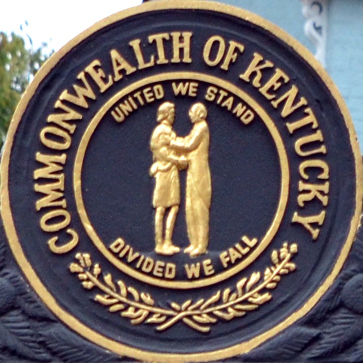
Every marker, old or new, carries the same Kentucky state seal at its top — two men clasping hands beneath the motto “United We Stand, Divided We Fall,” a design that has itself been redrawn several times since 1792.