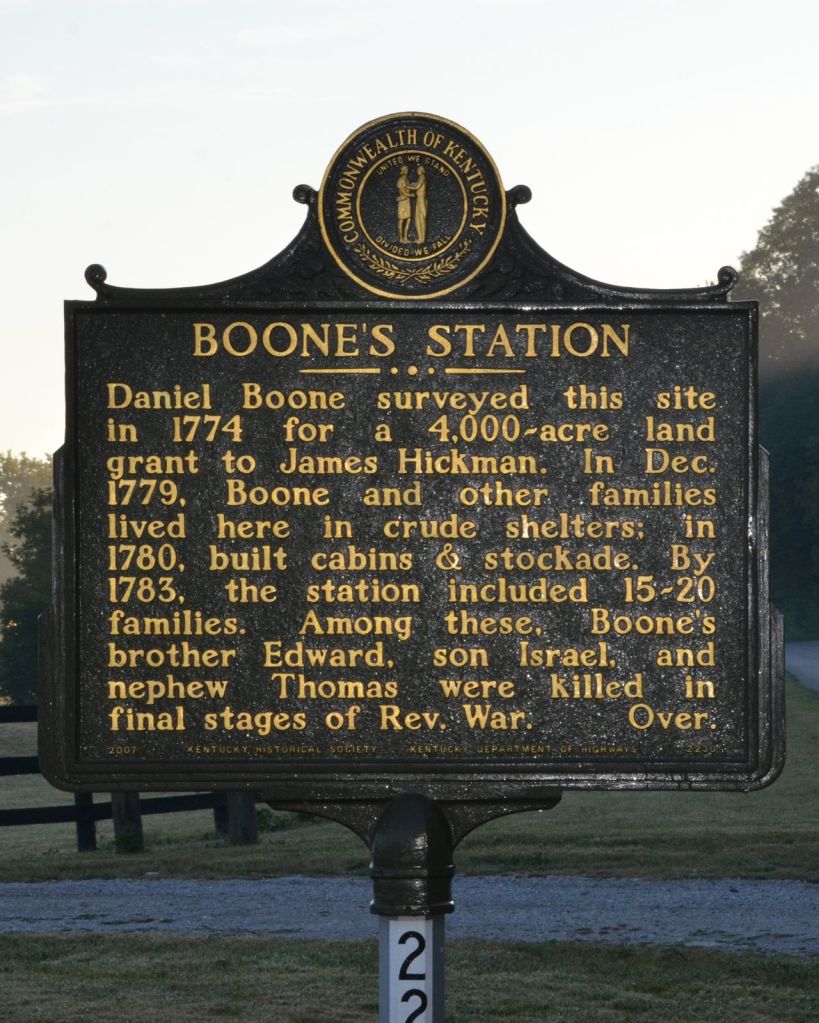
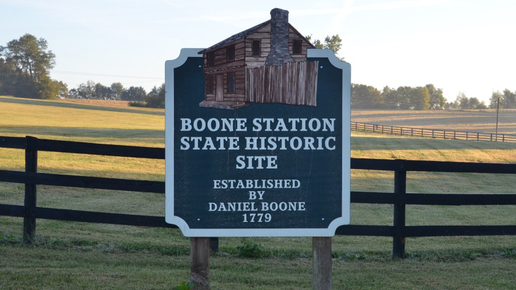
“BOONE’S STATION” Daniel Boone surveyed this site in 1774 for a 4,000-acre land grant to James Hickman. In Dec. 1779, Boone and other families lived here in crude shelters; in 1780, built cabins & stockade. By 1783, the station included 15–20 families. Among these, Boone’s brother Edward, son Israel, and nephew Thomas were killed in final stages of Rev. War.
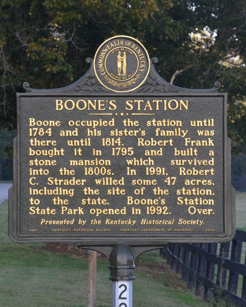
(Reverse) Boone occupied the station until 1784 and his sister’s family was there until 1814. Robert Frank bought it in 1795 and built a stone mansion which survived into the 1800s. In 1991, Robert C. Strader willed some 47 acres, including the site of the station, to the state. Boone’s Station State Park opened in 1992.
By 1774, Daniel Boone had already blazed the Wilderness Road and helped found Boonesborough, but he’d grown tired of how crowded that settlement had become. When he surveyed the future station site that year, on a level rise above a spring feeding into Boone’s Creek, he had his eye on something quieter: a 4,000-acre grant tied to the name of James Hickman, and eventually, a home of his own.
He didn’t move his family there right away. That came five years later, in the dead of winter. On Christmas Day 1779, Boone crossed the frozen Kentucky River and settled his family at the site, joining a station his own son Israel had already established there in 1776. A handful of other families followed, first into crude winter shelters, then, by the spring of 1780, into proper cabins ringed by a defensive stockade.
Life Inside the Palisade
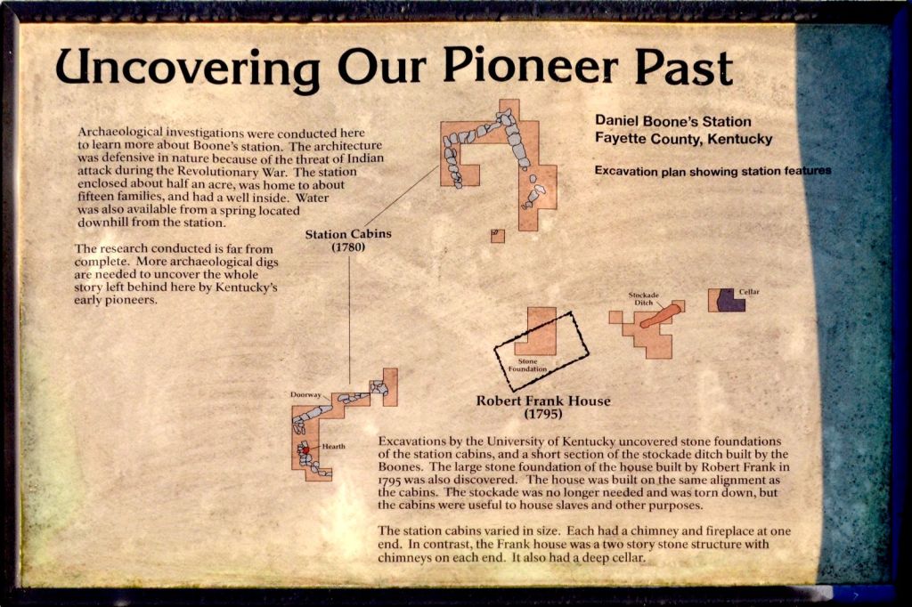
“Station” is a specific word in frontier Kentucky, distinct from a fort like Boonesborough. Stations were smaller, more domestic: clusters of family cabins built wall-to-wall so their outer log walls formed a continuous defensive perimeter, with a shared well inside for water during a siege. Boone’s Station grew to enclose about half an acre and, at its height around 1783, housed 15 to 20 families, a meaningful settlement by frontier standards.
Life there was not especially eventful compared to the sieges endured at Boonesborough or Bryan Station nearby. But “not especially eventful” is a low bar on the Revolutionary War–era frontier, and the station’s residents paid a price all the same.
The War Comes Home
In October 1780, Daniel and his brother Edward were out hunting near a salt lick in present-day Bourbon County when Shawnee warriors killed Edward. Two years later, the losses compounded. On August 19, 1782, at the Battle of Blue Licks, one of the last engagements of the Revolutionary War, a Kentucky militia force that included Daniel Boone was ambushed and routed. Boone’s son Israel and his nephew Thomas were both killed in the retreat; by most accounts, Israel died in his father’s arms after being shot while trying to mount a horse Boone had found for him. It was, by Boone’s own later account, a wound that never fully closed. Kentuckians remembered Blue Licks as one of the bloodiest single days of the war on the western frontier, with roughly 70 to 77 militia killed against light losses on the other side.
A Title Boone Couldn’t Hold
The marker’s front panel ends on that note of loss. What it doesn’t dwell on is why Boone left the station at all, and the answer says as much about frontier Kentucky as any battle. Land claims in 1780s Kentucky were recorded through an informal, chaotic system of overlapping surveys and competing warrants, and Boone, for all his skill in the woods, was a poor record-keeper and a worse businessman. Rival claimants with better-documented titles eventually asserted superior rights to the very land Boone had surveyed for himself in 1774, and by around 1783 or 1784 he had lost it. It was a pattern that followed him for the rest of his life: Boone would go on to lose tens of thousands of acres across Kentucky to defective titles and lawsuits, a frustration substantial enough that it helped push him first toward Missouri and, decades later, toward a special act of Congress just to secure a much smaller grant in his old age.
Boone was gone from the station by the mid-1780s, though his sister’s family stayed on at the site until 1814, keeping a Boone presence there for another thirty years after Daniel himself had moved on.
From Frontier Station to Plantation
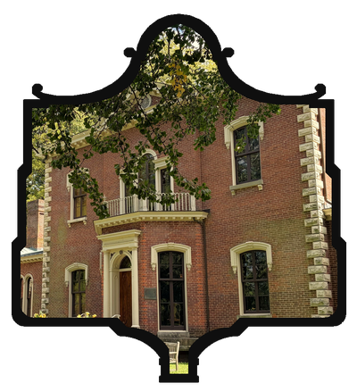
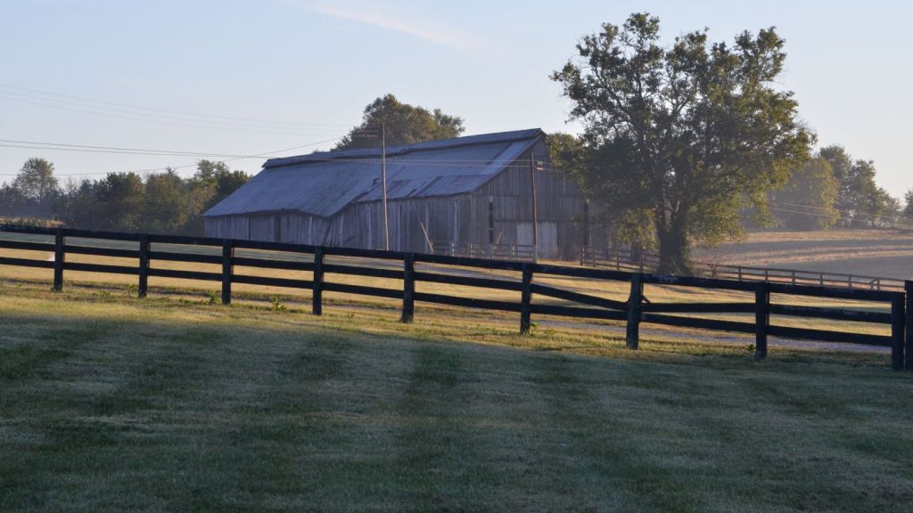
In 1795, Robert Frank bought the property and built a two-story stone house on the same alignment as the old station cabins, a substantial home with chimneys on each end and a deep cellar, a world away from the single-hearth log cabins that came before it. The stockade, no longer needed, was dismantled. But the station’s original cabins didn’t disappear right away. Archaeological research at the site has established that they were repurposed under Frank’s ownership to house enslaved people, alongside other uses, a detail the roadside marker doesn’t mention at all.
Rediscovering the Station
For most of the twentieth century, nothing was visible above ground to mark where any of this had happened. That changed starting in the late 1990s, when a University of Kentucky archaeological team began geophysical surveys and excavations at the site, work that would become the most extensive archaeological investigation ever undertaken at a Kentucky station. Magnetometry and conductivity surveys mapped what lay beneath the pasture before a single shovel went into the ground; the subsequent digs confirmed stone foundations from the station cabins, a surviving stretch of the stockade ditch, a hearth, and the full stone foundation of Robert Frank’s 1795 house. Artifacts recovered from the site span from Boone’s 1779 arrival to the mid-nineteenth century, layering nearly a century of continuous use, first as a defensive frontier settlement, then as a working plantation, on top of one another.
A Farm Becomes a State Historic Site
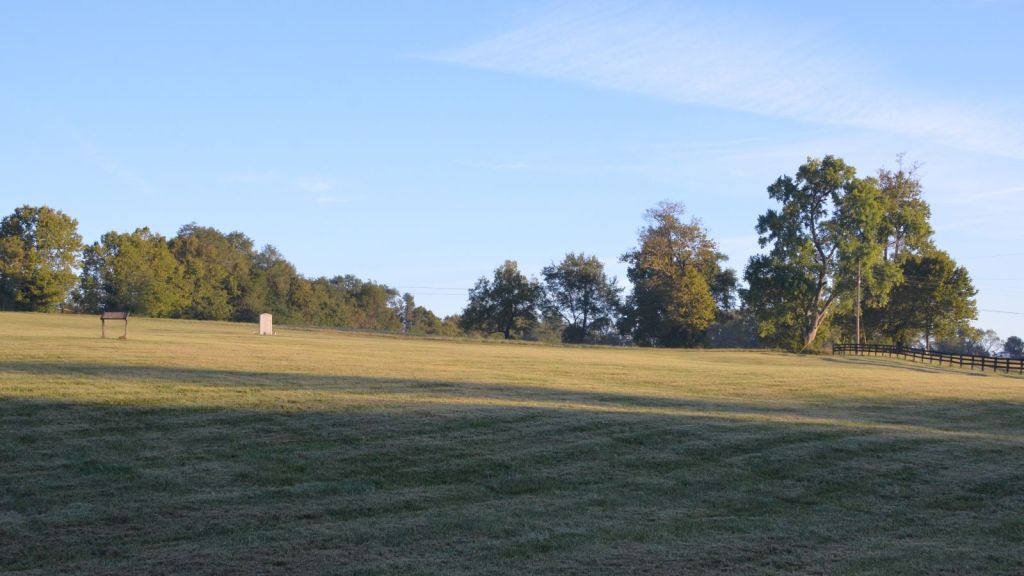
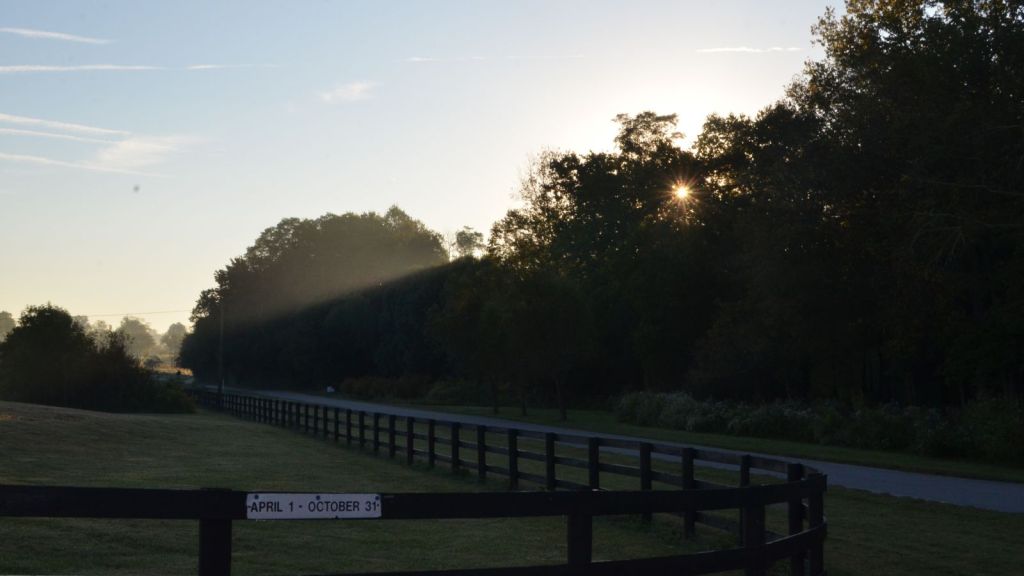
The site passed through private hands for generations after the Franks. Then in 1991, owner Robert C. Strader willed roughly 47 acres, including the old station ground, to the Commonwealth of Kentucky. Boone’s Station State Historic Site opened to the public the following year. Today it’s a quiet, seasonal stop: open roughly April through October, with rolling pasture, a handful of interpretive markers, and little else to suggest that a fortified settlement, and later an enslaved workforce, once stood on this ground.
What the Marker Doesn’t Say
The marker frames Boone’s Station as a story of frontier hardship and family loss, and that’s true as far as it goes. But two things sit just outside its frame. First, the land itself: Boone surveyed and settled it as part of a broader wave of encroachment onto hunting grounds long contested by the Shawnee and Cherokee, contested precisely because English colonial claims had never fully extinguished Native title to Kentucky. The same violence that took Edward, Israel, and Thomas Boone’s lives was also the violence of a land being actively, and disputedly, taken.
Second, and more directly documented at the site itself: the station’s own cabins outlived the station. Once Robert Frank built his stone mansion in 1795, the log cabins Boone’s community had built for mutual defense were repurposed to house people who had no defense of their own, enslaved laborers on Frank’s property. That fact appears on a supplementary archaeological interpretive panel at the site, not on the roadside marker, which lets its story end tidily with Frank’s “stone mansion” and skips who lived in what came before it.
Sources consulted: Kentucky Historical Society marker text; ExploreKYHistory; HMDB.org; Wikipedia (“Battle of Blue Licks,” “Boone’s New Station”); University of Kentucky archaeological survey reports and published research on the site’s excavation history; site interpretive panel, “Uncovering Our Pioneer Past.”



I’m eager to hear what you think