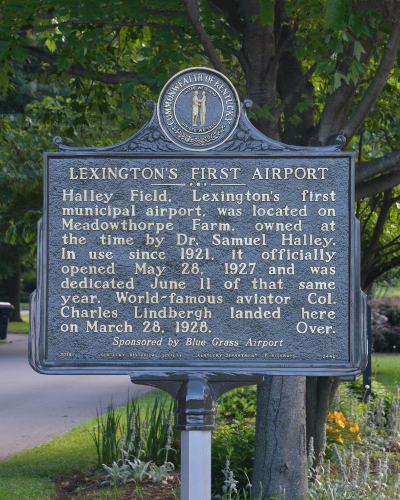
“Halley Field, Lexington’s first municipal airport, was located on Meadowthorpe Farm, owned at the time by Dr. Samuel Halley. In use since 1921, it officially opened May 28, 1927 and was dedicated June 11 of that same year. World-famous aviator Col. Charles Lindbergh landed here on March 28, 1928. Over.”
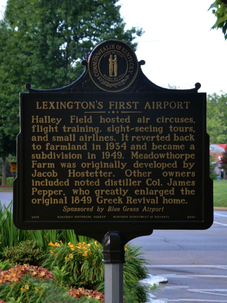
(Reverse) “Halley Field hosted air circuses, flight training, sight seeing tours, and small airlines. It reverted back to farmland in 1934 and became a subdivision in 1949. Meadowthorpe Farm was originally developed by Jacob Hostetter. Other owners included noted distiller Col. James Pepper, who greatly enlarged the original 1849 Greek Revival home.”
Kentucky Historical Society, Marker No. 2440 — erected 2014
Intersection of Boiling Springs Drive and Old Leestown Road, Lexington | 38° 04′ 02″ N, 84° 31′ 31″ W — Directions: MapQuest
A Stock Farm Becomes a Landing Field
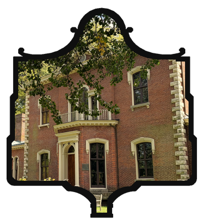
Long before anyone thought to land an airplane in Lexington, the ground at Boiling Springs Drive was simply Meadowthorpe, a stock farm developed around 1849 by Jacob Hostetter, who built the Greek Revival house that would anchor the property for the next century.
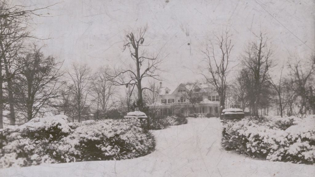
After Hostetter’s death in 1886, the farm passed through a string of owners whose names still echo through Lexington’s landscape: William H. Cheppu, a bookmaker who sold it in 1892 to pay off debt; Colonel James E. Pepper, the distiller, who enlarged the house and stamped “Meadowthorpe 1892” over its new front gable; and finally Dr. Samuel H. Halley, president of the Fayette Tobacco Warehouse, whose family owned it through the 1920s. It’s Halley’s name the airfield would eventually carry, though he wasn’t the one who put it there — the site had already been catching small aircraft since 1921, years before anyone formalized it as an airport.
Lindbergh’s Secret Landing
The airfield’s one moment of true national attention came on March 28, 1928, when Charles Lindbergh, not yet two years past the transatlantic flight that made him the most famous man in America, landed at Halley Field to visit a friend. Airfield manager Ted Kincannon, a decorated World War I flying ace, had arranged the visit under strict secrecy. It didn’t hold. Word spread fast enough that some three thousand people turned out to watch Lindbergh take off again from a field still hemmed in by trees and telephone wires, a genuinely risky departure for a pilot of his caliber, let alone an ordinary one.
A Short, Busy Life as an Airport
Halley Field’s formal run as Lexington’s municipal airport was brief but active. It officially opened May 28, 1927, with Kincannon’s Kentucky Airways running twice-daily round trips between Lexington and Louisville out of a fleet of five biplanes lettered “LEXINGTON” on their undersides.
Kentucky Airways had been founded the year before, in 1926, by Thomas J. “Jap” Lee and Ted Kincannon, and Halley Field was the company’s first permanent home. Beyond the Lexington-Louisville run, it added scheduled and chartered routes around the state and opened a flight school that trained a number of local pilots, and counted University of Kentucky students among them who were headed home for the holidays. Kincannon left for Bowman Field in Louisville in late 1928, and the company itself didn’t last much longer, folding by 1934 as the Depression squeezed air travel.
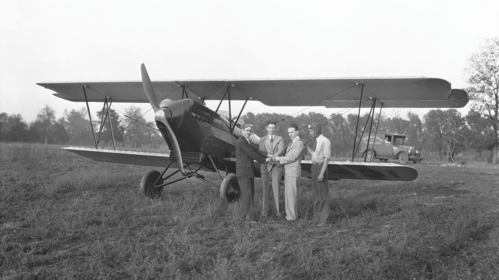
Over the next several years the field hosted air circuses, flight instruction, sightseeing flights, and a rotating cast of small charter and taxi operators, Lexington Aerial Taxi, run out of the same office as the local cab company, among them. But the field’s fifty acres, boxed in by the same trees and wires that had made Lindbergh’s departure a spectacle, couldn’t keep pace with larger, faster aircraft. The lease on Halley Field expired in April 1930, and the Board of Commerce had already lined up its replacement: a new, larger field on Newtown Pike, leased from the Glengarry Farm and dedicated in 1935 as Glengarry Field (later renamed Cool Meadow). Cool Meadow, in turn, was outgrown by the early 1940s, when the city built the airport that became Blue Grass Field, and eventually Blue Grass Airport, on a 523-acre farm site along Versailles Road, opposite Keeneland.
What the Marker Doesn’t Say
The marker’s reverse side compresses Meadowthorpe’s next chapter into a single clause: it “reverted back to farmland in 1934 and became a subdivision in 1949.” That’s accurate as far as it goes, but it skips the part of the story that matters for understanding how Lexington actually developed in the mid-20th century.
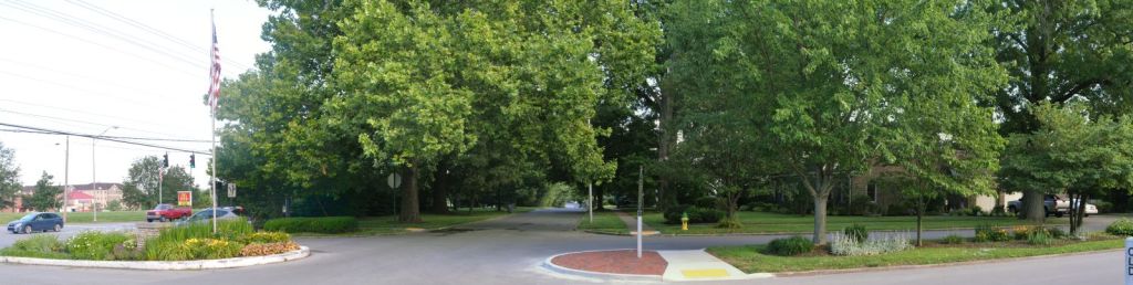
Meadowthorpe wasn’t just platted into home lots in 1949 — it was platted the way most new Lexington subdivisions of that era were. According to research compiled by the Segregated Lexington project, the developer filed a formal set of subdivision restrictions in January 1950 that included racially restrictive covenant language excluding Black buyers, filed nearly two years after the U.S. Supreme Court had already ruled such covenants judicially unenforceable in Shelley v. Kraemer (1948). Meadowthorpe is named directly, alongside neighborhoods like Kenwick and Goodrich, among the subdivisions where researchers have confirmed this pattern by pulling deeds lot by lot from the Fayette County record books.
This wasn’t unique to Meadowthorpe, and it wasn’t hidden — it was standard practice, reinforced at the federal level through the same period by the Federal Housing Administration’s redlining of Lexington neighborhoods considered “hazardous” for mortgage insurance, largely on the basis of racial composition. The effect on Black Lexingtonians was direct and durable: exclusion from the postwar suburban homeownership boom that built generational wealth for white families, concentrated instead into a shrinking set of neighborhoods available to them.
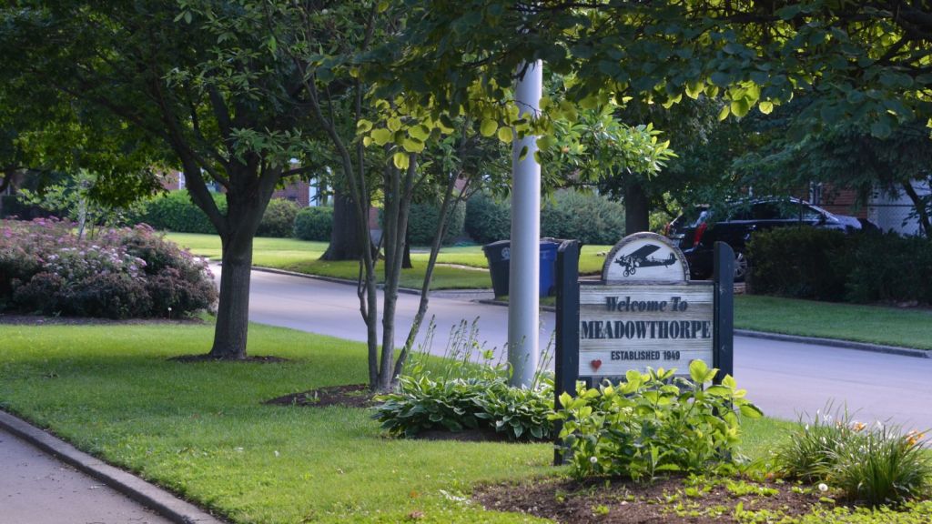
None of this required the airfield to exist — Meadowthorpe would likely have been developed into a subdivision with or without Halley Field ever landing a plane there. But the marker’s brief, breezy “became a subdivision in 1949” is exactly the kind of sentence that flattens a messier, more consequential history into a footnote. The story of how Lexington’s neighborhoods got their shape — who could buy in, and who couldn’t — is as much a part of Meadowthorpe’s history as Lindbergh’s dramatic afternoon in 1928.
Sources consulted: Kentucky Historical Society marker database; ExploreKYHistory; Historical Marker Database (HMDB); Lexington History Museum (“Meadowthorpe Field” and “Blue Grass Airport”); The Kaintuckeean; Segregated Lexington (segregatedlexington.com), Restrictive Covenants and Redlining pages.



I’m eager to hear what you think